Willemstad, Curacao: Four Historic Districts Around a Working Harbour
Willemstad’s colourful waterfront is one part of a larger heritage city. UNESCO identifies four historic districts arranged around a natural harbour that remains active. A focused visit compares urban form and the relationship with water, instead of treating a single row of facades as the whole story of Curacao’s capital.
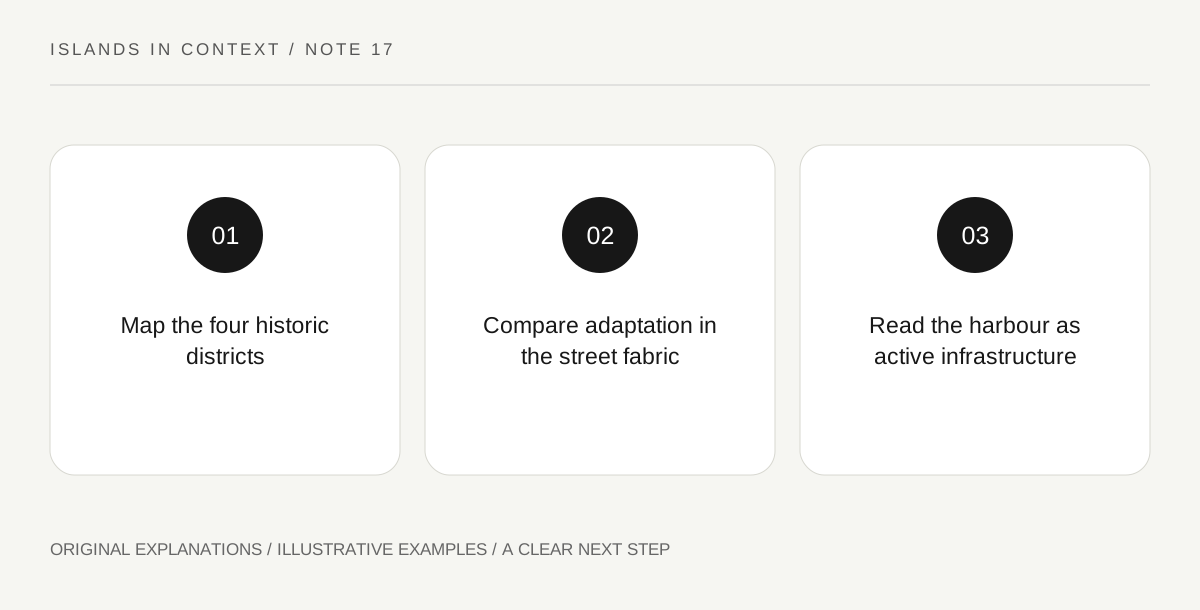
Original explanatory diagram. Read the full method and limitations below.
Put the districts on the map
UNESCO identifies Punda, Otrobanda, Pietermaai and Scharloo as distinct historic districts. Punda developed beside Fort Amsterdam on the eastern side of Sint Anna Bay, while the other districts reflect later growth. Start with that spatial structure before choosing a walking area. A photograph across the harbour can combine places that require different approaches on the ground. Keep the district name with each observation so a facade or street is not mislabelled. Understanding the arrangement also prevents a general “old town” pin from standing in for a specific meeting point, museum entrance or permitted public route.
Read architecture as adaptation
The heritage account connects Willemstad’s architecture with Dutch colonial ideas, Caribbean exchange and the tropical setting. This is a history of adaptation rather than the simple transplantation of an unchanged European town. Look at the relationship between a building’s form, its plot and the surrounding street. Curved gables and colourful finishes can be distinctive features, but they do not explain the entire structure. Use reliable local interpretation for individual dates and styles. A visible similarity is a starting question, not proof that two buildings were designed by the same person or served the same purpose.
Keep the harbour active in the explanation
UNESCO emphasises the natural deep-water harbour and its continuing role. Water is therefore both an urban setting and working infrastructure. Observe from permitted public areas and respect operations, barriers and transport arrangements. Do not assume that a heritage waterfront is uniformly pedestrian space or that a route across the water is permanently available in one form. Check current local crossing arrangements if the visit depends on changing banks. The historical question concerns how the city developed around water; the practical question concerns how a visitor can move through the present city. They should inform each other without being confused.
Compare one district pair rather than everything
Choose a specific contrast, such as the older planned fabric of Punda and a later district’s development. Read the official heritage overview alongside current local information for any interiors. The comparison can include street width, plot arrangement, visible building form and present function. Avoid assuming that a colourful exterior means a building is fully restored or open to visitors. Maintenance, reuse and everyday occupation are part of the living city. A bounded comparison gives enough time to notice relationships and record uncertainty, while leaving the other districts as acknowledged parts of the wider heritage property.
Illustrative district notebook
A hypothetical visitor chooses one permitted public area in Punda and one in Otrobanda. The notebook records district, visible frontage, street relationship and current use where evident. An official heritage source supplies the historical framework; uncertain building dates remain questions. The exercise does not prescribe a water crossing, identify private interiors as public or claim that both districts share one uniform architectural character.
Practical checks
Optional checkboxes save only in this browser.
Questions that come up
Is the famous waterfront the entire heritage property?
No. UNESCO identifies four districts and the harbour setting. A single facade view represents only part of that broader urban structure.
Does the harbour function only as scenery today?
No. The heritage account recognises its continuing working role. Visitor movement must respect current operations and permitted access.
References and scope
These sources support the factual background. Examples and exercises are original illustrative teaching material. References do not imply endorsement.
- UNESCO: Willemstad — Punda, Otrobanda, Pietermaai, Scharloo; active natural harbour and Caribbean architectural adaptation.