Bali’s Rice Terraces: Follow the Subak System Beyond the Viewpoint
A rice-terrace photograph shows only part of Bali’s subak landscape. UNESCO describes a cooperative system connecting water temples, canals, weirs, fields and community organisation. Understanding those relationships gives an island visit a clear learning purpose without treating working farmland or sacred space as an unrestricted scenic attraction.
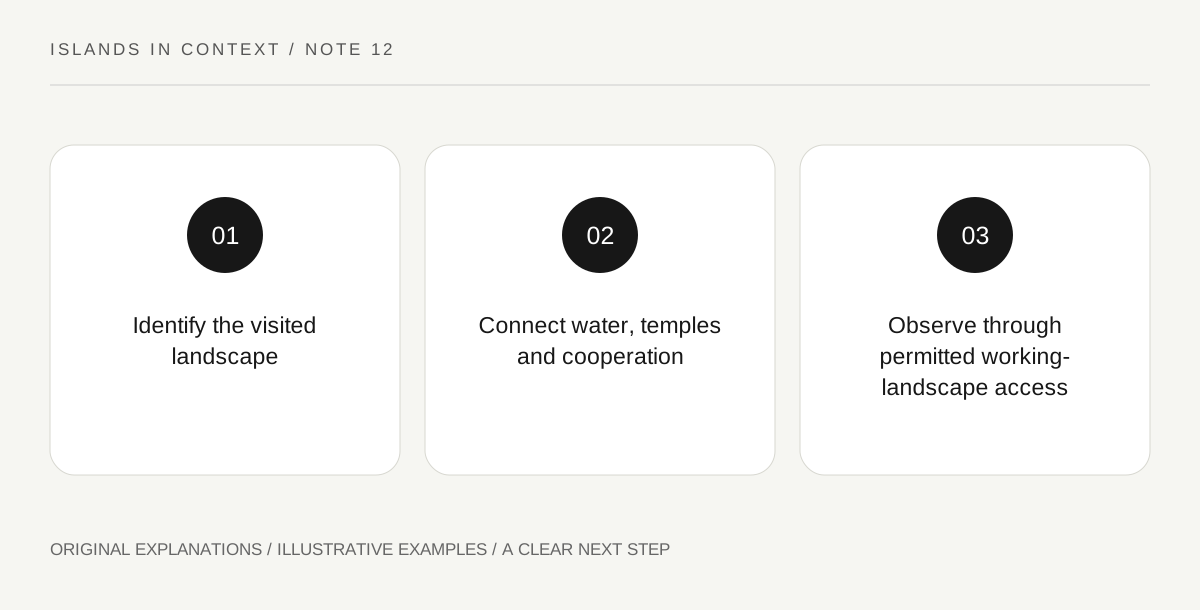
Original explanatory diagram. Read the full method and limitations below.
Separate a terrace view from the whole system
The listed cultural landscape includes several component areas, not every rice field on Bali. UNESCO connects the recognised places through water management and the Tri Hita Karana philosophy. A popular viewpoint may show terraces, but a photograph alone does not establish its inclusion in the listed property or explain its management. Identify the actual place and the interpretation available there. The broader lesson is that the landscape is produced by relationships between land, water and people. Its appearance is a result of continuing activity rather than a permanent decorative arrangement created solely for visitors.
Trace water and cooperative decisions
UNESCO describes canals, tunnels and weirs linking water sources with fields, under a cooperative system connected with water temples. Follow the relationship conceptually through an official diagram or guided explanation. Water reaches multiple users, making coordination part of the infrastructure. A channel is therefore not just a convenient line beside a walking path. Do not block, step into or alter it to improve a photograph. The interesting question concerns how physical distribution and social decisions work together. A visitor can understand that principle without claiming to measure the actual flow or know every local rule governing a particular collective.
Keep temple culture connected with agriculture
The heritage account presents temples and religious life as integral to the water system. Tri Hita Karana draws together spiritual, human and natural relationships. Avoid separating a temple into a decorative stop and the fields into an unrelated agricultural scene. Equally, do not reduce a complex philosophy to a slogan that claims all farming decisions are automatically harmonious. Ask how the local interpretation explains rituals, shared responsibilities and the sustaining of cultivation. Follow the specific visitor expectations at any temple, including areas not open to visitors. A cultural explanation does not create permission to join or photograph a ceremony.
Recognise work and change in the landscape
UNESCO discusses vulnerability to changes in agriculture, tourism pressure and the ability of farmers to continue their practices. That context matters when choosing an activity. Use permitted routes and services that clearly explain their access arrangements instead of following an attractive path through someone’s crop. The season and cultivation stage can change the field’s appearance, so do not demand the exact green scene shown in advertising. A strong visit asks how the landscape is maintained and what local participants identify as important. The answer can include present work and change, rather than treating the heritage designation as proof that nothing evolves.
Illustrative water-network notebook
A hypothetical visitor draws a source, a temple, a distribution structure and several fields as connected parts of one learning diagram. The guide’s explanation supplies the relationships; the drawing does not claim exact channel positions or flow rates. A separate note records the permitted visitor route. The exercise changes the question from “where is the best terrace photo?” to “how is cultivation coordinated here?”
Practical checks
Optional checkboxes save only in this browser.
Questions that come up
Is every Bali rice terrace part of the UNESCO property?
No. The listing identifies specific component landscapes. Confirm the actual place rather than attaching heritage status to every terrace photograph.
Can I walk through a field because a viewpoint is nearby?
Only use access that is actually permitted. Working fields and water infrastructure are not automatically public paths or photography areas.
References and scope
These sources support the factual background. Examples and exercises are original illustrative teaching material. References do not imply endorsement.
- UNESCO: Bali subak cultural landscape — Cooperative water management, temples, canals/weirs, agriculture and Tri Hita Karana.