Pico’s Coastal Vineyards: Stone Walls Are Working Infrastructure
On Pico in the Azores, small basalt-walled plots form a striking pattern near the rocky coast. UNESCO explains that these currais protect vines from wind and salt spray. Read the landscape as a system of farming, movement and trade rather than a decorative grid laid out for visitors.
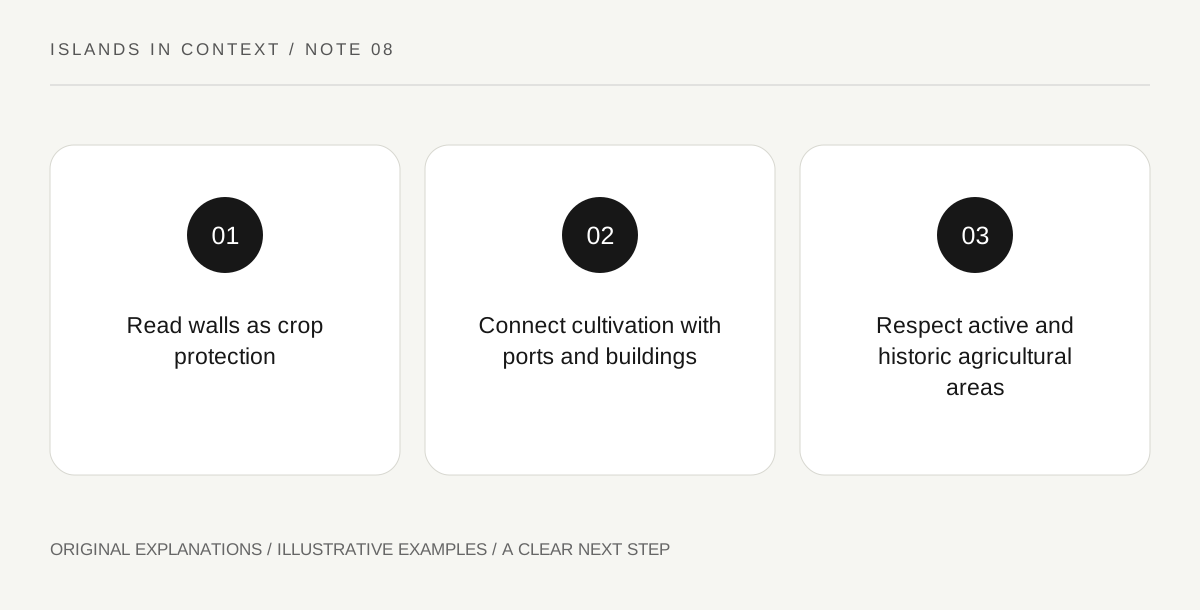
Original explanatory diagram. Read the full method and limitations below.
Look for protection in the pattern
The walls divide the coastal ground into many small enclosures. UNESCO links their function to the challenging island environment, where wind and seawater affect cultivation. A distant photograph can make the pattern look abstract, but the repeated compartments have a practical purpose. Begin with the relationship between exposure and shelter. Do not remove or rearrange a stone to demonstrate the construction. Even an apparently modest wall belongs to a larger maintained system. A sketch can show the plot, surrounding wall and coastal setting while leaving exact dimensions to measured interpretation supplied by the site.
Connect fields with the wider production landscape
The heritage property includes more than vines. UNESCO identifies associated buildings, cellars, paths, wells, ports and ramps that helped support production and movement. This expands the question from “where are the grapes?” to “how did this coastal economy function?” Read a building or landing feature in relation to the fields rather than treating it as an unrelated scenic object. A useful diagram follows production through storage and outward movement, while acknowledging that a visitor may see only part of the chain. Do not identify an unlabeled ruin’s precise function from appearance alone.
Distinguish active and relict areas
UNESCO describes both continued cultivation and abandoned enclosures within the broader landscape. These areas can look similar from a distance while having different maintenance and use histories. Look for official interpretation of the particular area you are observing. Do not assume an unplanted-looking enclosure is public space or available for a picnic. Some plots are part of a living agricultural landscape, with ownership and work continuing. The distinction also helps explain conservation: maintaining a wall pattern can involve preserving historic fabric while sustaining the farming practices that give the pattern its function.
Choose a landscape-reading visit
A good cultural visit can focus on one accessible, permitted area and one interpretation source. Check current local access and any museum or guided activity independently, because the UNESCO description establishes significance rather than an opening timetable. Observe the relationship between black basalt, enclosed plots and the sea, then ask how that material setting shaped human decisions. Wine tasting, if offered by an individual business, is a separate product and should not be assumed from heritage status. The landscape can be understood without consuming alcohol or entering working plots, making its agricultural logic the main subject of the day.
Illustrative coastal-system diagram
A hypothetical visitor draws four labelled boxes: sheltered plot, storage building, path and port. Arrows represent a possible production sequence explained by the heritage account, not a claim about an unidentified building encountered on a walk. A second line marks active cultivation and a relict area as different conditions. The diagram helps turn a repeated wall pattern into questions about work, maintenance and movement.
Practical checks
Optional checkboxes save only in this browser.
Questions that come up
Are the walls mainly decorative?
UNESCO explains their agricultural role in protecting vines from wind and salt spray. Their visual pattern results from a working response to the coastal environment.
Does World Heritage status include a tasting or guided tour?
No. Those are separate services with their own current availability. The listing describes the landscape’s significance rather than a visitor package.
References and scope
These sources support the factual background. Examples and exercises are original illustrative teaching material. References do not imply endorsement.
- UNESCO: Pico vineyard landscape — Basalt currais protect vines from wind/salt spray; working and abandoned plots; coastal production landscape.