Reunion’s Cirques and Remparts: Read the Landforms Before Choosing an Excursion
Reunion’s interior heritage landscape contains volcanic peaks, steep walls and large cirques. UNESCO explains their geological and ecological significance. Understanding the terms helps an island visitor read a view or interpretation centre more clearly, while keeping heritage significance separate from the current availability of a particular road, trail or volcanic-area visit.
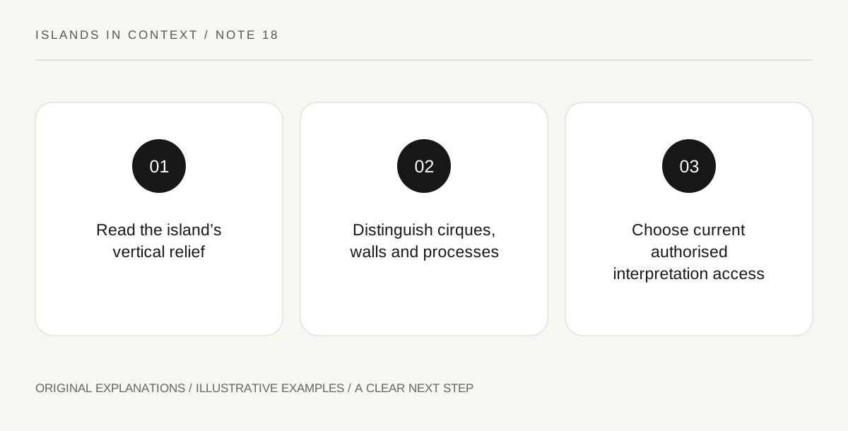
Original explanatory diagram. Read the full method and limitations below.
Recognise more than a beach-island outline
UNESCO describes Reunion as two adjoining volcanic massifs and identifies a major protected interior landscape. An island map showing only coastal resorts can hide that vertical complexity. Begin with a relief map and distinguish the coast from the high interior. A short horizontal distance does not necessarily mean a short or simple journey across steep terrain. This article explains the landscape rather than supplying a hiking route. Use current responsible-authority information for any actual excursion, because neither a heritage boundary nor an attractive panorama establishes access or suitability for a particular traveller.
Distinguish cirques from remparts
The heritage description uses cirques for huge natural amphitheatre-like basins and remparts for steep rock walls. These terms describe different aspects of the landscape rather than two names for every mountain. From a permitted viewpoint or an explanatory model, identify the enclosing wall, the basin and the drainage pattern where they are visible. Avoid assuming that a view into a cirque establishes a visitor route down into it. A landform can be understood at a distance. The relationship between enclosing relief and the space below is often more informative than a list of peak names without a spatial explanation.
Connect processes without oversimplifying
UNESCO relates the dramatic topography to volcanic activity, landslides, heavy rainfall and stream erosion. The landscape therefore reflects several processes rather than a single eruption carving every visible feature at once. A simple diagram can distinguish construction of volcanic massifs from later reshaping. It should remain a teaching diagram unless supported by detailed geological mapping. Do not infer the date or stability of a particular cliff from its appearance. For an active volcanic area, current access restrictions and official updates are essential and separate from the general explanation of how the island’s relief developed.
Read vegetation as part of the protected landscape
The heritage account also identifies varied ecosystems and important endemic biodiversity. Forested gorges, cloud forests and heaths make the landscape more than bare geology. Look for interpretation that connects habitat with altitude and conditions, while avoiding the claim that every plant seen is endemic or rare. Species identification needs appropriate evidence. A museum, visitor centre or authorised viewpoint can support this learning without a demanding trek. Choose the actual visit through current park and local information, and keep its access requirements explicit. The result can be a meaningful interior-island day even when no summit or long trail is included.
Illustrative relief sketch
A fictional visitor uses an official relief model to sketch a volcanic massif, a cirque basin, an enclosing rempart and a stream. Different symbols mark terrain and habitat themes. The drawing explains relationships without assigning an exact geological age to every line. A separate planning sheet checks whether a chosen visitor centre or viewpoint is currently open; the sketch itself is not a route instruction.
Practical checks
Optional checkboxes save only in this browser.
Questions that come up
Does UNESCO status mean a trail is open?
No. The listing explains significance and protection. Current trail, road and volcanic-area conditions require the responsible authority’s latest information.
Must I hike into a cirque to understand it?
No. A suitable authorised viewpoint, model or interpretation visit can explain the landform. Choose the activity according to actual access and personal needs.
References and scope
These sources support the factual background. Examples and exercises are original illustrative teaching material. References do not imply endorsement.
- UNESCO: Reunion landscapes — Volcanic massifs, cirques/remparts, park core and terrestrial biodiversity; not a current trail-opening source.